Your cart
There are no more items in your cart


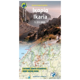
In Stock
10.00 €
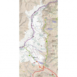
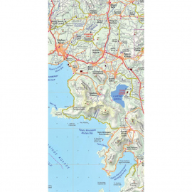
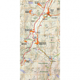
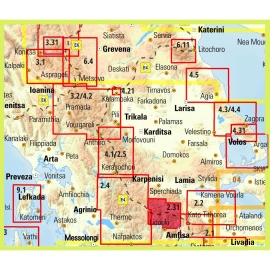
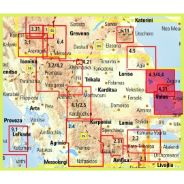
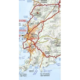
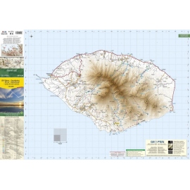
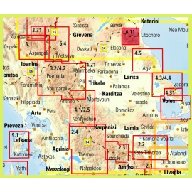
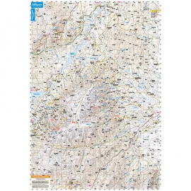
This two-sided map presents the wider Pierian Mountains for the first time. At a scale of 1:40,000 (side A) and 1:25,000 (side B), it covers: Pieria Mts. - Titaros, Voulgara, Eastern Pieria Mts. (Ano Milia - Ritini - Elatochori), Northern Pieria Mts. (Elafina - Charadra - Sfikia), Western Pieria Mts. (Velvento - Katafigi - Polifito), Ag. Demetrios, Petra.