Your cart
There are no more items in your cart
-
-
 Gift Card 25 Euro25.00 €
 Gift Card 50 euro50.00 €
 Gift Card 100 Euro100.00 €
 Gift Card 150 euro150.00 €
-
-
-
Gift Card 25 Euro25.00 €
Gift Card 50 euro50.00 €
Gift Card 100 Euro100.00 €
Gift Card 150 euro150.00 €
-
-
-

-

-
Gift Card 25 Euro25.00 €
Gift Card 50 euro50.00 €
Gift Card 100 Euro100.00 €
Gift Card 150 euro150.00 €
-
-
-
Gift Card 25 Euro25.00 €
Gift Card 50 euro50.00 €
Gift Card 100 Euro100.00 €
Gift Card 150 euro150.00 €
-
-
Gift Card 25 Euro25.00 €
Gift Card 50 euro50.00 €
Gift Card 100 Euro100.00 €
Gift Card 150 euro150.00 €
-
Gift Card 25 Euro25.00 €
Gift Card 50 euro50.00 €
Gift Card 100 Euro100.00 €
Gift Card 150 euro150.00 €
-





 English
  ελληνικά
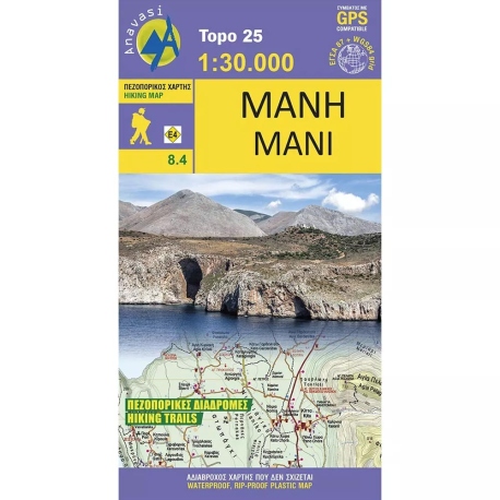
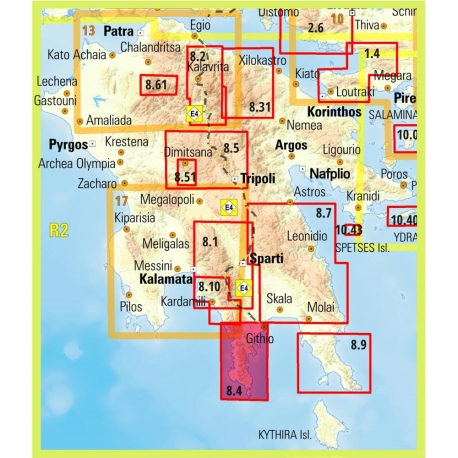
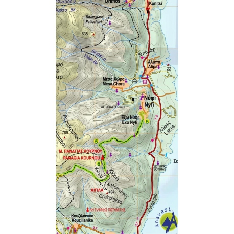
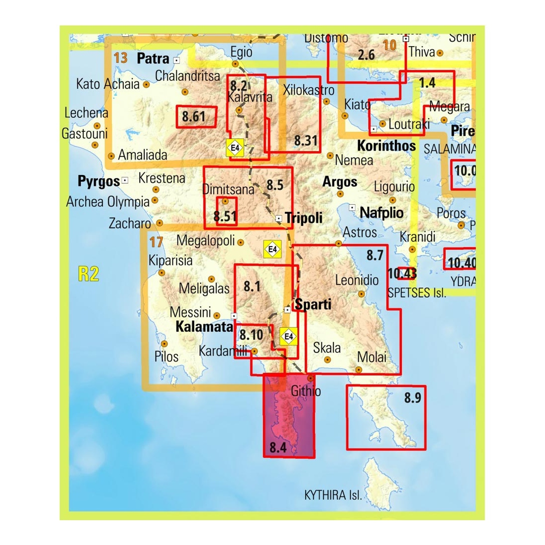
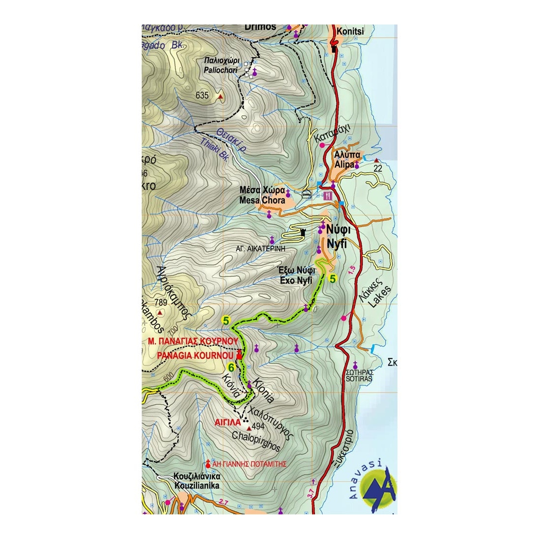
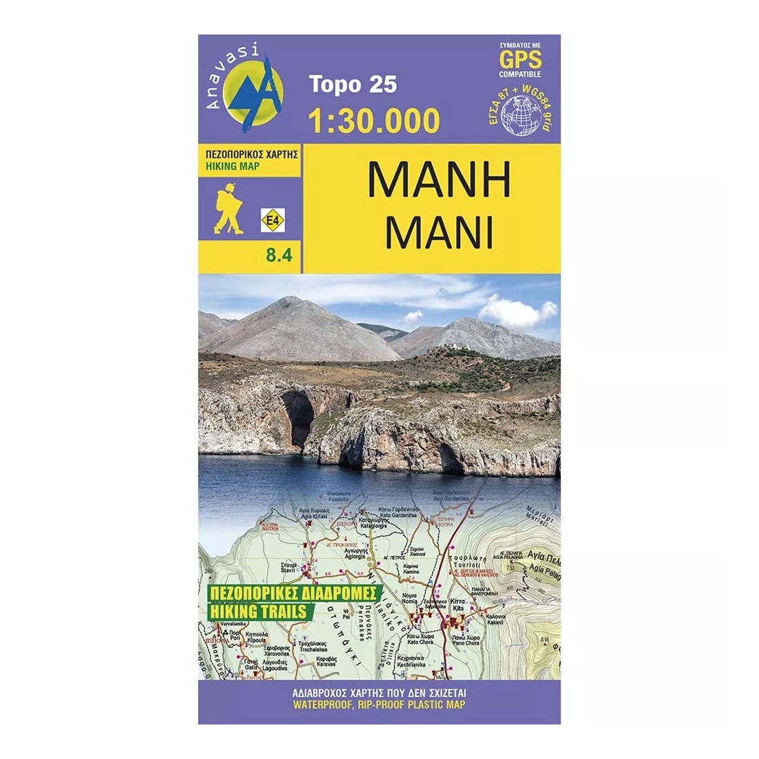
Mani Hiking Map
Hiking map of Mani in scale 1:30 000, a wild and sparsely inhabited region. Past the fertile zones of Gythio and Itilo, the map will guide you to the arid part of the peninsula known as "Mesa Mani" and as far as Cape Matapan or Tainaro (famous for the naval battle of Matapa in March 1941).
Description:
An unforgetable hike to the southernmost point of the Peloponnese and what was considered in Ancient times the entrance to the underworld. Pausanias and Plutarch mention a cave used as a temple of necromancy in Tainaro.
Many chapels are to be found dating from the mid-Byzantine period and hundreds of towers isolated or grouped in villages. Additional sights include the Frankish castle of Passavas and Diros caves, as well as the lighthouse of Tainaro.
Features:
- Waterproof, rip-stop plastic map
Specifications:
- Publication date: 2018
- Map reference code: 8.4
- Scale: 1:30.000
- ISBN: 9789608195523

Anavasi is a Greek publishing house that specialises in topographic maps for hiking and mountaineering. Anavasi maps cover many Greek mountains and islands and are among the most widely used navigation tools for people walking in Greece.
- Topographic hiking maps of Greek mountains
- Maps of islands and areas with waymarked trails
- Hiking guide books
At Petridi you will find a wide selection of Anavasi maps covering mountain ranges and regions across the country, along with guide books. They are essential for hikers, mountaineers, hiking clubs, trail runners and anyone planning a trip into nature. A paper map in your backpack is always useful, even if you use GPS or a phone, because it needs no battery or signal. Combined with a compass, it is the foundation of good navigation.
Petridi in Thessaloniki has been serving mountain lovers since 1949. Ask us about Anavasi maps for the area you plan to visit, or order from our e-shop with delivery anywhere in Greece.
Tap to zoom