Your cart
There are no more items in your cart
-
-
 Gift Card 25 Euro25.00 €
 Gift Card 50 euro50.00 €
 Gift Card 100 Euro100.00 €
 Gift Card 150 euro150.00 €
-
-
-
Gift Card 25 Euro25.00 €
Gift Card 50 euro50.00 €
Gift Card 100 Euro100.00 €
Gift Card 150 euro150.00 €
-
-
-

-

-
Gift Card 25 Euro25.00 €
Gift Card 50 euro50.00 €
Gift Card 100 Euro100.00 €
Gift Card 150 euro150.00 €
-
-
-
Gift Card 25 Euro25.00 €
Gift Card 50 euro50.00 €
Gift Card 100 Euro100.00 €
Gift Card 150 euro150.00 €
-
-
Gift Card 25 Euro25.00 €
Gift Card 50 euro50.00 €
Gift Card 100 Euro100.00 €
Gift Card 150 euro150.00 €
-
Gift Card 25 Euro25.00 €
Gift Card 50 euro50.00 €
Gift Card 100 Euro100.00 €
Gift Card 150 euro150.00 €
-


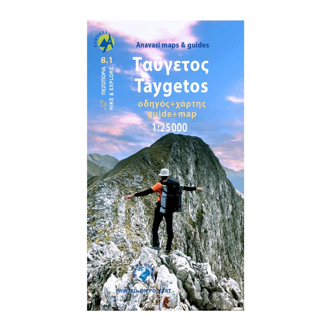
Hiking Map & Guide Taygetos
0This is not just a hiking map, this is a hiking guide AND 1: 25 000 map.
Description:
Taygetos extends as 70 km of magnificent massif anchoring the southern tip of Greece. From a dense network of challenging trails, we selected routes favored since antiquity by devotees of sky-gods or their successor, the Prophet Elijah. Paths wrapped in glorious nature. Trails that exploit favourable folds in the terrain, or follow the rugged gorges that were until recently the only gateway to the mountain.
Each route has its topo map and altitude profile, plus duration, distance, degree of difficulty, vegetation, sights, and links to other trails. Photographs and a route description enrich the picture.
Find out how the ancient Spartans carved out wagon roads to conquer Greece’s most dramatic mountain 2500 years ago, by Professor Yanis Pikoulas.
In the new hiking guide with a map 1:25 000 of Taygetos,18 routes are described, divided into areas: Laconian, Messinian, Center and North side of Taygetos, as well as ancient routes crossing the mountain in Antiquity.
Among the 18 routes there are all levels of difficulty: GREEN = EASY | BLUE = INTERMEDITATE | RED = DEMANDING | BLACK = VERY DIFFICULT. The difficulty depends on elevation range, length and type of terrain
Features:
See the routes here:
1. Manganari - Refuge - summit Profitis Ilias 2407m
2. Refuge - summit Profitis Ilias 2407m – Agios Dimitrios – Pentavli - Refuge
3. Refuge – peak Chalasmeno 2204m
4. Pikoulianika – peak Koufovouni 1850m
5. Anavryti – Refuge
6. Parori - Faneromeni monastery - Metamorfosi Sotiros - Parori
7. Mystras - Taygeti
8. Mystras - Castle North Gate - Mystras ΤAYGETOS (Messenian side)
9. Agios Dimitrios - Mousgia - peak Chalasmeno 2204m
10. Vyros Gorge (Agios Dimitrios - Exochori)
11. Ridomo Gorge (Voreio to Pigadia Stone bridge)
12. Velanidia monastery - Lagou hann
Crossing of Mount Taygetos crestline
13. Pentadaktylos
NORTH ΤAYGETOS(with the help of EOS SPARTIS and Kostas Laganas)
14. Longastra - Trypi - Pikoulianika - Mystras
15. Marble-bridge – Bridge – Kastori springs - Vrysiotiko - Perivolia springs - Agios Loukas - Ring road of Kastori - Agios Mamas springs
16. Myli Gorge (Georgitsi - Kastori)
17. Georgitsi - Agios Panteleimon 18. Kastorio - Xerovouna (of 2 sections of it)
18. Latta - Lousina / 18β. Lousina - Xerovouna
Specifications:
- Publication date: 2021
- Map reference: 8.1
- Scale: 1:25.000
- ISBN: 9789609412865

Tap to zoom