Your cart
There are no more items in your cart
-
-
 Gift Card 25 Euro25.00 €
 Gift Card 50 euro50.00 €
 Gift Card 100 Euro100.00 €
 Gift Card 150 euro150.00 €
-
-
-
Gift Card 25 Euro25.00 €
Gift Card 50 euro50.00 €
Gift Card 100 Euro100.00 €
Gift Card 150 euro150.00 €
-
-
-

-

-
Gift Card 25 Euro25.00 €
Gift Card 50 euro50.00 €
Gift Card 100 Euro100.00 €
Gift Card 150 euro150.00 €
-
-
-
Gift Card 25 Euro25.00 €
Gift Card 50 euro50.00 €
Gift Card 100 Euro100.00 €
Gift Card 150 euro150.00 €
-
-
Gift Card 25 Euro25.00 €
Gift Card 50 euro50.00 €
Gift Card 100 Euro100.00 €
Gift Card 150 euro150.00 €
-
Gift Card 25 Euro25.00 €
Gift Card 50 euro50.00 €
Gift Card 100 Euro100.00 €
Gift Card 150 euro150.00 €
-


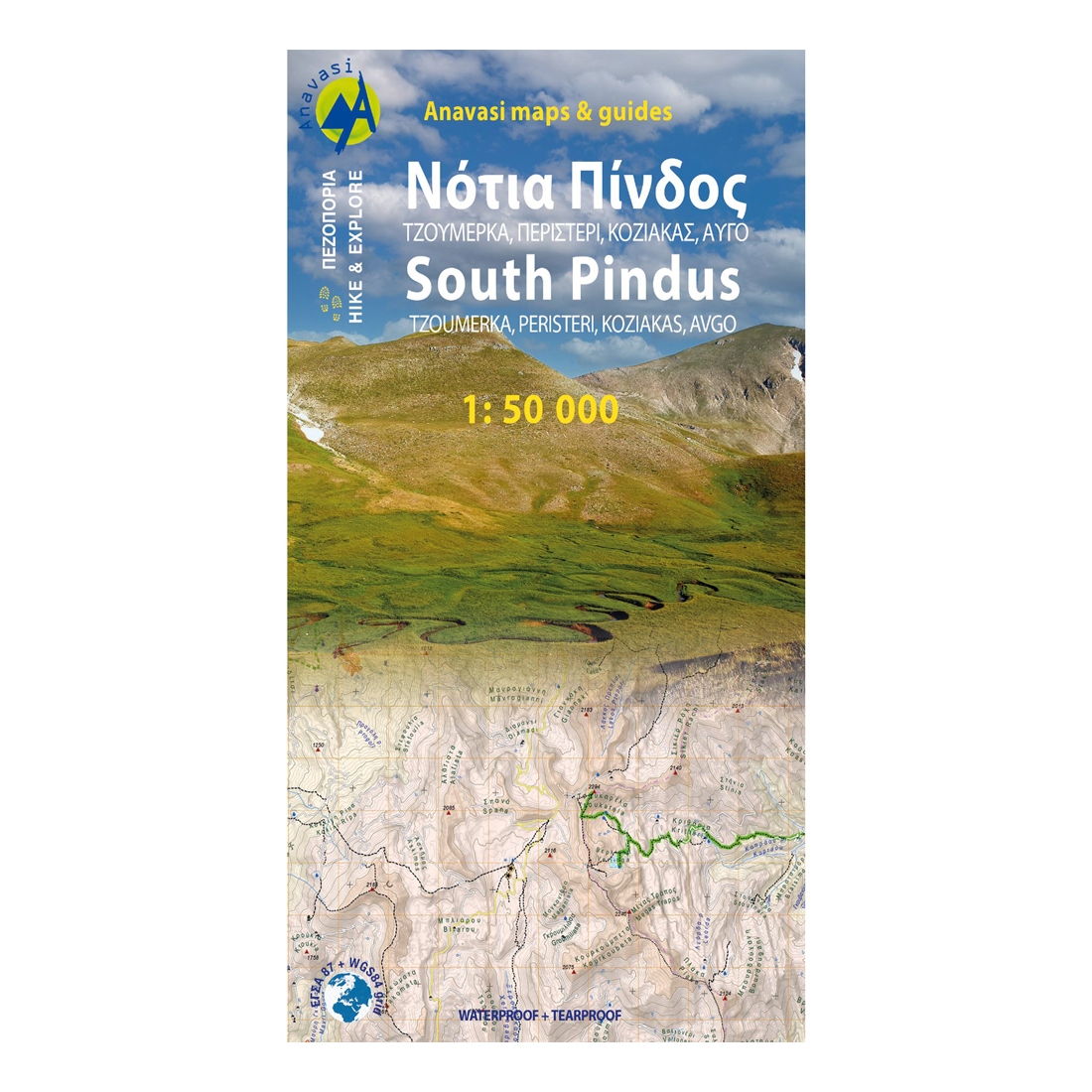
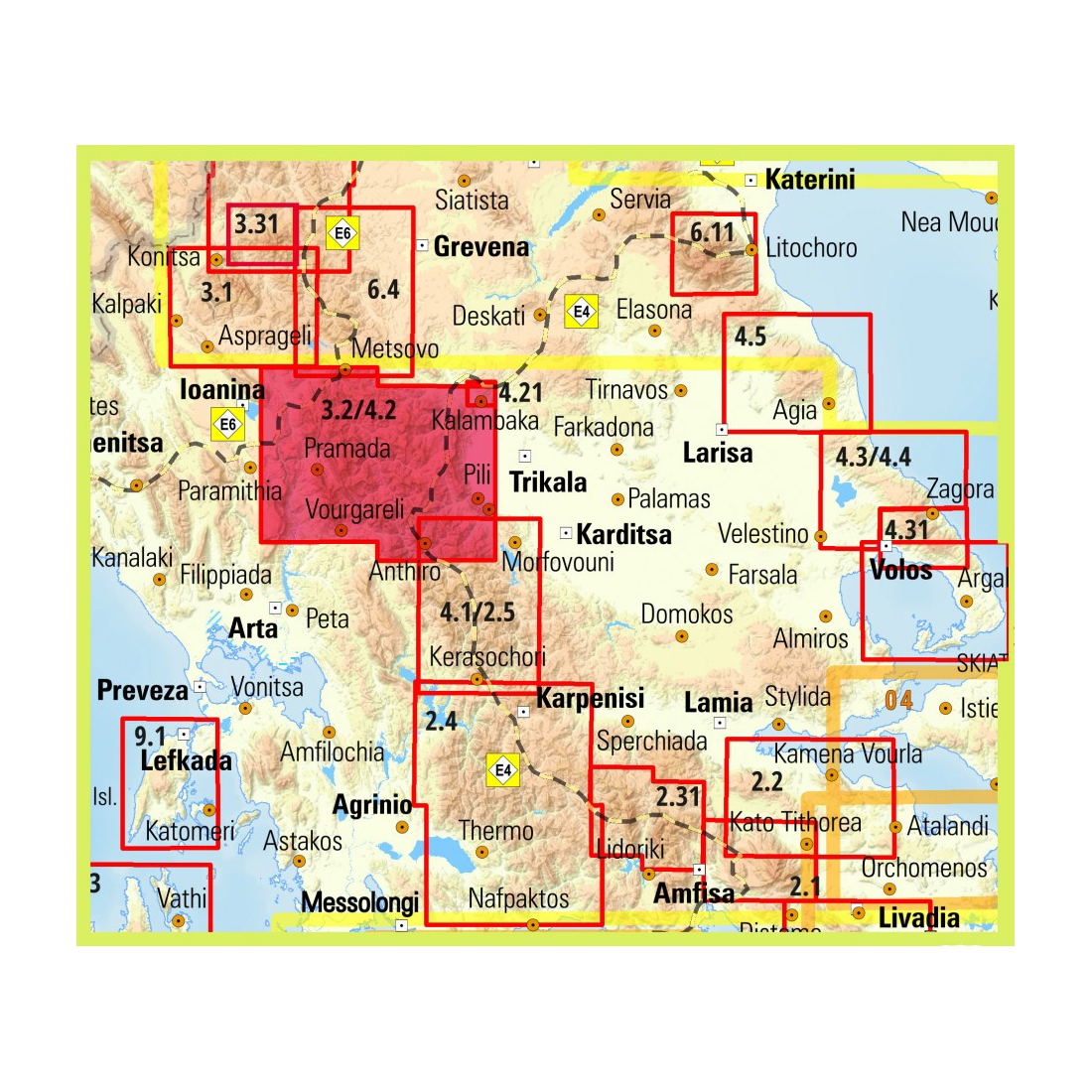
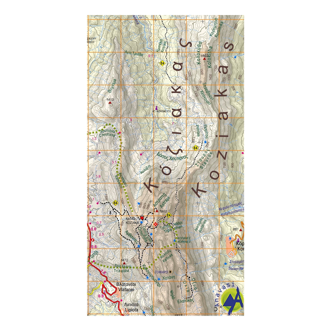
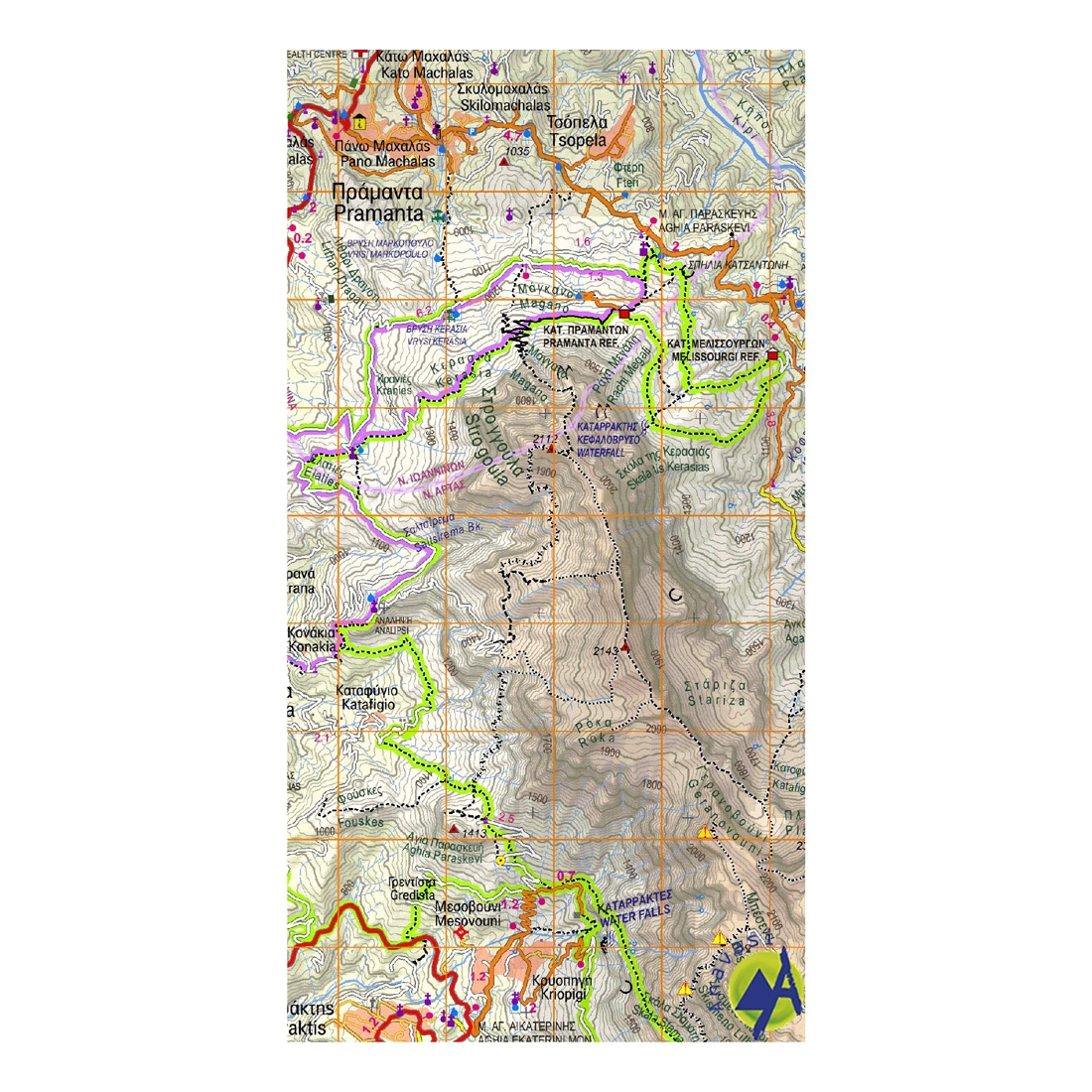
Touring-Hiking Map of South Pindos
Hiking map of South Pindos, Tzoumerka, Peristeri, Koziakas, Avgo in a scale of 1:50.000.
Description:
The hiking map of Southern Pindus [3.2/4.2] Peristeri - Kakarditsa - Tzoumerka - Koziakas - Avgo - Tringia. It covers a huge mountainous area that extends between the pass of Katara (and the new Egnatia highway) and the northern edge of Agrafa massif. Includes dozens of famous mountain peaks collectively called Southern Pindos.
It is also known as the mountains of Aspropotamos by the legendary Aspropotamos (Acheloos river) that runs through the heart of this region through landscapes of incredible wildness. Several new paths have been added since the previous editions as well an entire mountain, Kokkinolakkas with new trails recently opened and marked .
The road network has been also updated.
The map is printed on synthetic paper Polyart which is perfectly waterproof and durable in use and is placed in cardboard folder where you will find information on ascents to the major peaks in the region of the map.
Specifications:
- Publication date: 2022
- Map reference: 3.2-4.2
- Scale: 1:50.000
- ISBN: 978-960-9412-186

Tap to zoom