Your cart
There are no more items in your cart
-
-
 Gift Card 25 Euro25.00 €
 Gift Card 50 euro50.00 €
 Gift Card 100 Euro100.00 €
 Gift Card 150 euro150.00 €
-
-
-
Gift Card 25 Euro25.00 €
Gift Card 50 euro50.00 €
Gift Card 100 Euro100.00 €
Gift Card 150 euro150.00 €
-
-
-

-

-
Gift Card 25 Euro25.00 €
Gift Card 50 euro50.00 €
Gift Card 100 Euro100.00 €
Gift Card 150 euro150.00 €
-
-
-
Gift Card 25 Euro25.00 €
Gift Card 50 euro50.00 €
Gift Card 100 Euro100.00 €
Gift Card 150 euro150.00 €
-
-
Gift Card 25 Euro25.00 €
Gift Card 50 euro50.00 €
Gift Card 100 Euro100.00 €
Gift Card 150 euro150.00 €
-
Gift Card 25 Euro25.00 €
Gift Card 50 euro50.00 €
Gift Card 100 Euro100.00 €
Gift Card 150 euro150.00 €
-


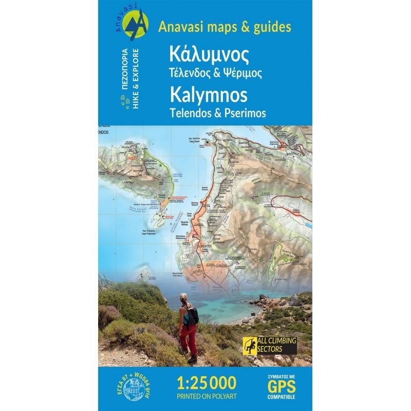
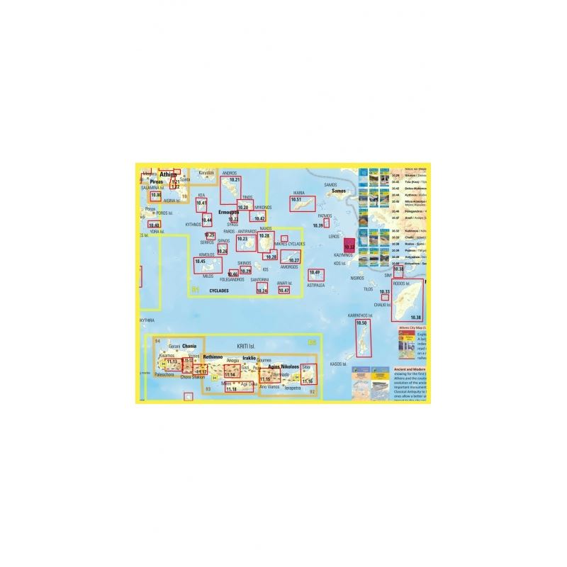
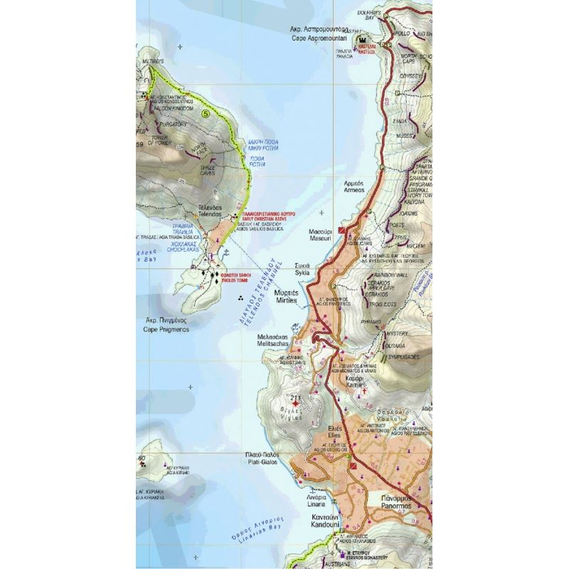
Kalymnos Hiking Map
Kalimnos (also written Kalymnos or Calymnos) is an island of the Dodecanese archipelago, and climbing destination of the Mediterranean with more 2000 climbing routes. Kalimnos hiking map is waterproof and tear-resistant. The map shows all hiking trails and rock climbing sites.
Description:
It features contours lines every 20m with hill shading. The map indicates dirt roads in poor condition, with distances marked on many local routes, plus locations of car parks and petrol stations. Also marked are stops of the local bus service. Foktpaths distinguish between wide and well defined or narrow and/or poorly defined routes. Symbols highlight various facilities and places of interest. All place names are in both Greek and Latin alphabets. The map has a 1km UTM grid plus latitude/longitude margin ticks and crosshairs at 1’.
On the reverse the whole island is shown on a slightly simplified map at the same scale, designed to highlight recommended hiking trails annotated with helpful notes, plus several climbing sites. Map legend and all the text include English.
From the dangerous depths of sponge diving to the impressive climbing walls, the barren island of Kalymnos has something majestic and invites you to exceed your limits.
Follow the paths of the map, and discover hidden beaches prehistoric caves, unique crags and a landscape is scattered with monuments.
| Info | |
| Map reference code | 10.32 |
| Publisher | ANAVASI |
| Scale | 1:25 000 |
Tap to zoom