Your cart
There are no more items in your cart
- Home
-
CLOTHES - SHOES
-
Men's
-
Women's
-
Kid's
-
GiftCards
Gift Card 25 Euro25.00 €Gift Card 50 euro50.00 €Gift Card 100 Euro100.00 €Gift Card 150 euro150.00 €
-
Men's
-
CAMPING - TRAVEL
-
Camping
-
Cooking - Tools
Knifes - Pocketknifes - Multitools
-
Beach - Sea
BeachSUP - Boats - CanoeFishing - Snorkeling
-
Traveling
- Sports & Toys
-
GiftCards
Gift Card 25 Euro25.00 €Gift Card 50 euro50.00 €Gift Card 100 Euro100.00 €Gift Card 150 euro150.00 €
-
Camping
-
MOUNTAIN - CLIMBING
-
Mountain
Camping at the Mountains -
Climbing
-
Cooking - Tools
Knifes - Pocketknifes - Multitools
-
Winter Sports
Winter Equipment
-
GiftCards
Gift Card 25 Euro25.00 €Gift Card 50 euro50.00 €Gift Card 100 Euro100.00 €Gift Card 150 euro150.00 €
-
-
SEA
-
Beach - Sea
BeachSUP - Boats - CanoeFishing - Snorkeling
- Navigation & Weather
-
GiftCards
Gift Card 25 Euro25.00 €Gift Card 50 euro50.00 €Gift Card 100 Euro100.00 €Gift Card 150 euro150.00 €
-
Beach - Sea
-
SURVIVAL
Knifes - Pocketknifes - MultitoolsGift Card 25 Euro25.00 €Gift Card 50 euro50.00 €Gift Card 100 Euro100.00 €Gift Card 150 euro150.00 €
- ARMY - POLICE
- BRANDS
Geopsis Olympus
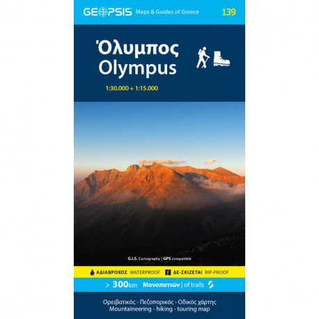
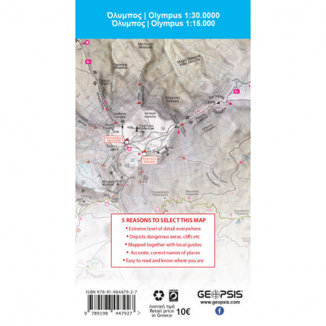
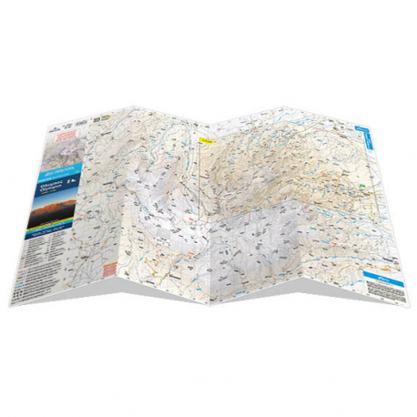
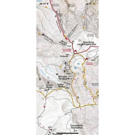
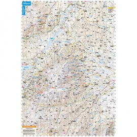
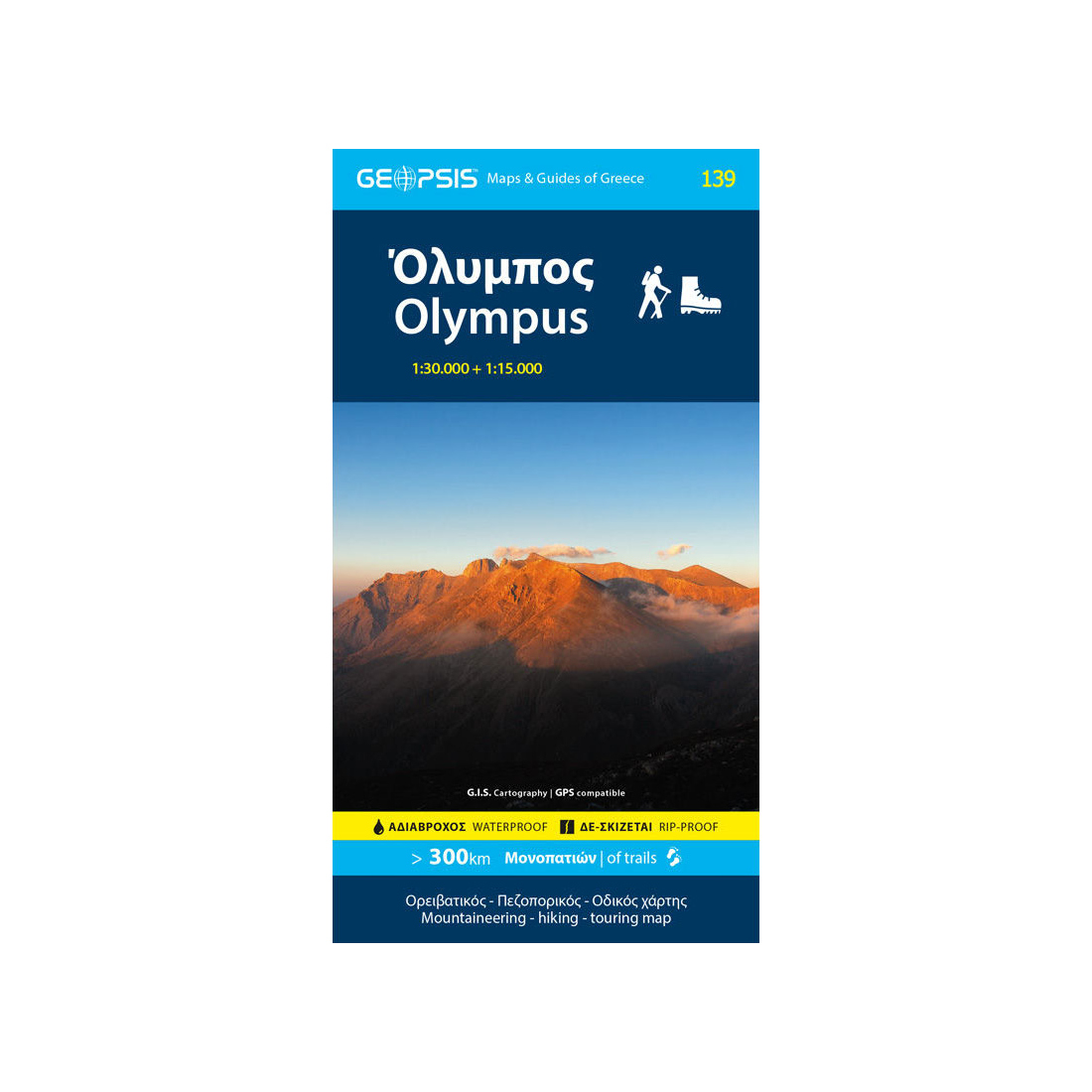
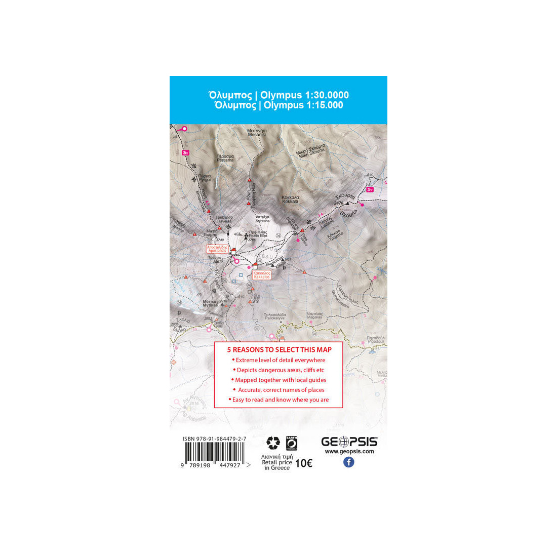
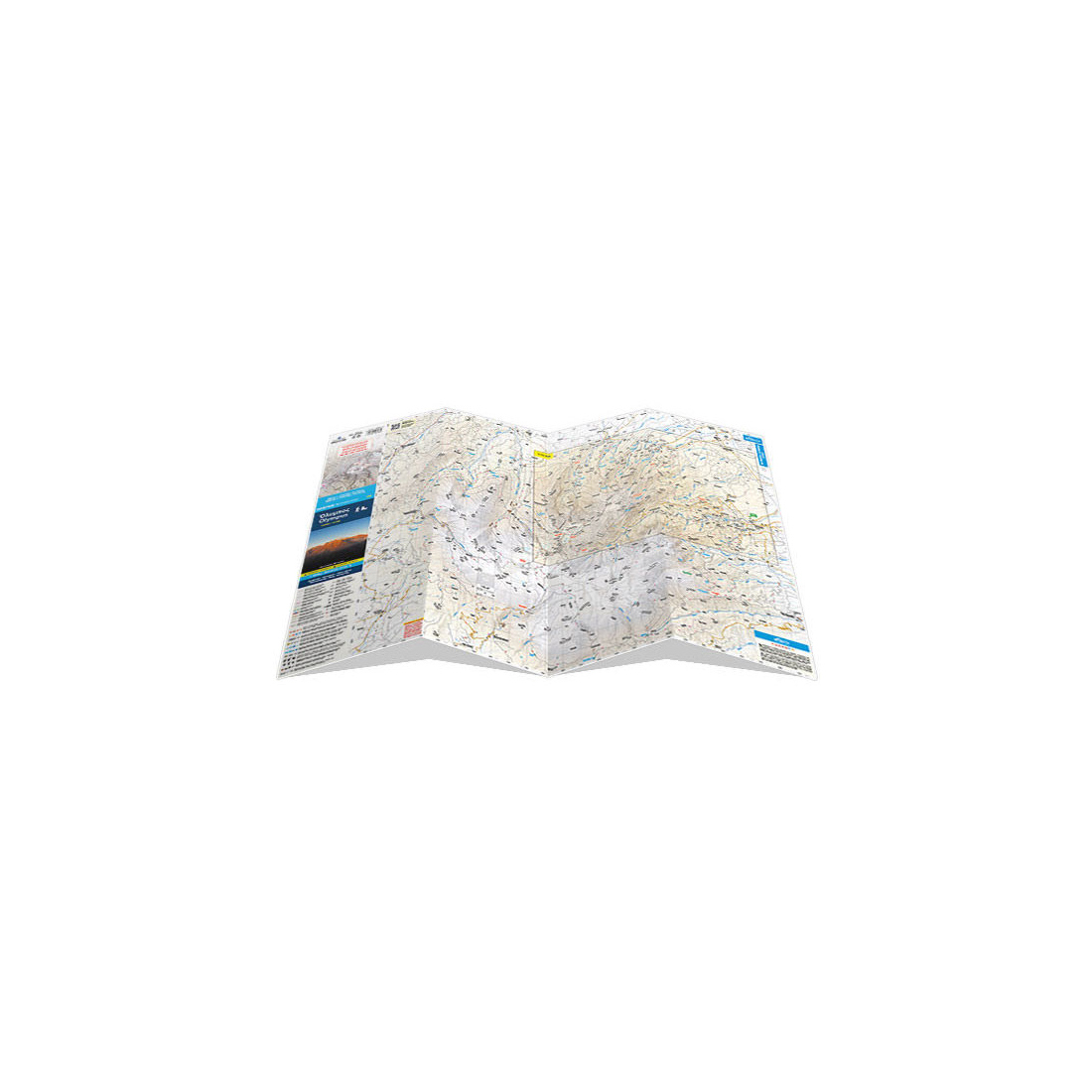
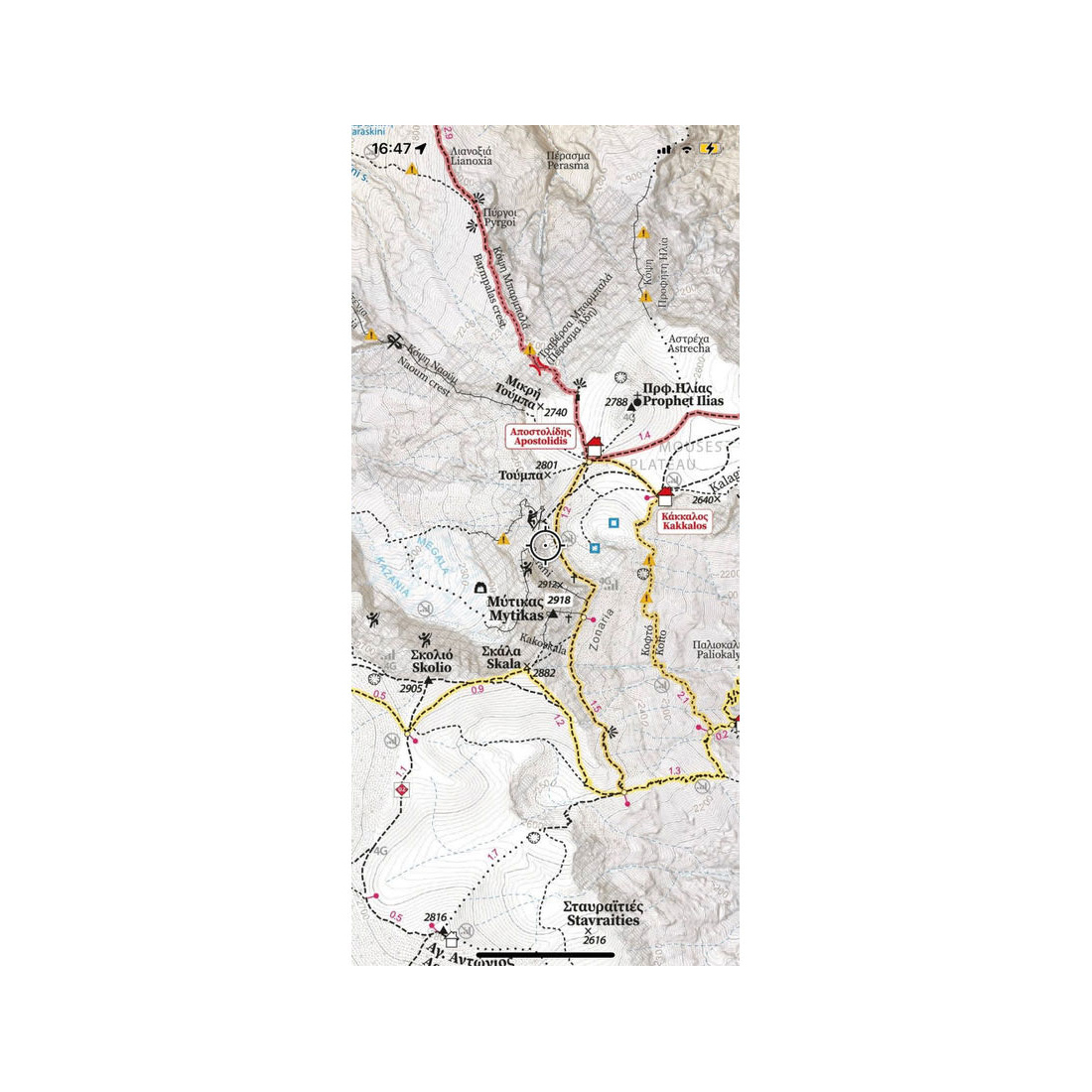
The double-sided map includes Mount Olympus at a scale of 1:30,000 and a detailed section of Olympus at 1:15,000. For the first time, it presents the entire network of marked trails on Mount Olympus in full. The reverse side of the map depicts the main part of Olympus from Litochoro to the summit of Skolio, extending north to Agioi Apostoloi and Krevatia, offering unprecedented cartographic coverage at a 1:15,000 scale.
Features:
- Mountaineering and hiking trails on the legendary mountain
- Marked routes
- Hot spots for outdoor and adventure activities on the mountain
- Distance measurements on roads and trails for accurate hike planning
- Updated road network for proper and reliable access
- Points of caution and potential hazards
- Easy and quick understanding of the terrain relief
- Ultra-high-resolution terrain and elevation model
Specifications:
- Year of publication: 2024
- Scale: 1:30,000 & 1:15,000
- ISBN: 9789198447965
Customers who bought this product also bought:
10.00 €
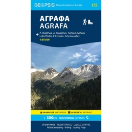
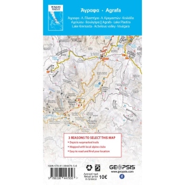
This two-sided map presents the the broader Agrafa area. At 1:50.000, it covers: North Agrafa, East Agrafa, West Agrafa, Argithea, Voulgara, Lake Plastira, Lake Kremaston, Lake Stefaniada, Achelous area, Agrafiotis, Megdovas, Rentina, Fourna, Amarantos etc.
7.99 €
Hiking map of Seih Sou in 1:12000 scale printed waterproof and rip-stop polyart.
0.90 €
Chemical light with phosphorus that can be used for fishing, camping, survival or games and lasts up to 8 hours. Non-flammable and non-toxic.
10.00 €
Waterproof, rip-proof hiking and touring map of Pinovo - Tzena - Paiko.
24.90 €
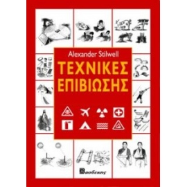
Το βιβλίο αυτό περιλαμβάνει όλα όσα πρέπει να γνωρίζετε για να επιβιώσετε σε καταστάσεις έκτακτης ανάγκης.
0.60 €
Chemical light with phosphorus that can be used for fishing, camping, survival or games and lasts up to 8 hours. Non-flammable and non-toxic.
8.00 €
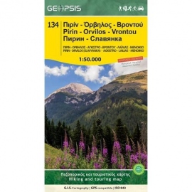
Waterproof, rip-proof, hiking and touring map of Pirin - Orvilos - Vrontou.
7.50 €
Waterproof, rip-proof hiking map of Smolikas and Trapezitsa.