Your cart
There are no more items in your cart


In Stock
10.00 €
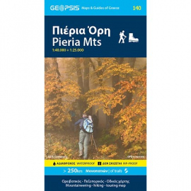
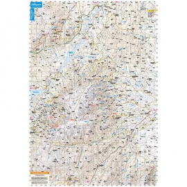
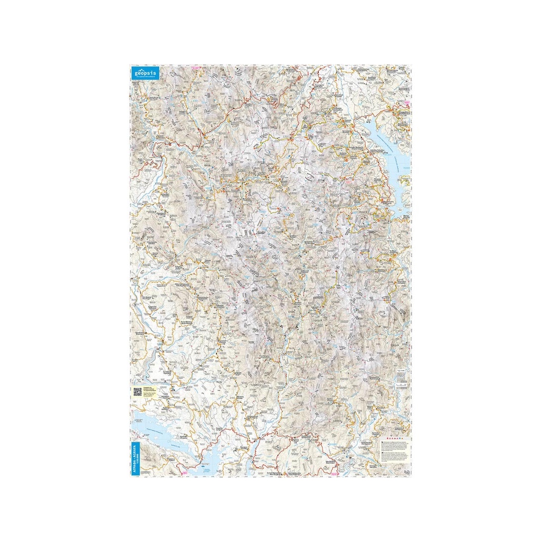
The double-sided map includes Mount Olympus at a scale of 1:30,000 and a detailed section of Olympus at 1:15,000. For the first time, it presents the entire network of marked trails on Mount Olympus in full. The reverse side of the map depicts the main part of Olympus from Litochoro to the summit of Skolio, extending north to Agioi Apostoloi and Krevatia,...


