Your cart
There are no more items in your cart


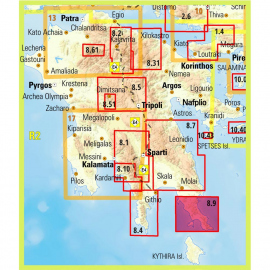
In Stock
6.50 €
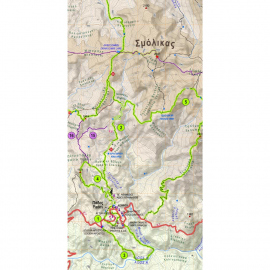
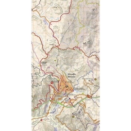
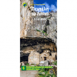
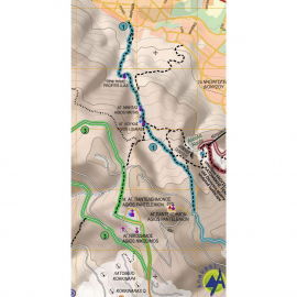
The new hiking map of Mt Penteli (or Pendeli) by Anavasi Editions at a scale of 1:16 000 invites you to discover one of the mountains that delimit the Athens plain through hiking and cycling trails. Old quarries, caves and monuments, including the famous "lithagogias road" from where the Parthenon marbles were transported to the Acropolis are recorded on...