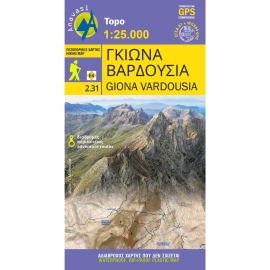
Hiking map for Giona - Vardousia in a scale of 1:25.000. The map of Giona - Vardousia 1: 25.000 is not the new version of the map of Giona - Oiti - Vardousia but a completely new map that proposes for the first time exploration and adventure routes. Because more and more people are seeking adventure on the spurs and the peaks of Mts Vardousia and Giona.
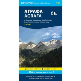
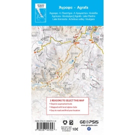
This two-sided map presents the the broader Agrafa area. At 1:50.000, it covers: North Agrafa, East Agrafa, West Agrafa, Argithea, Voulgara, Lake Plastira, Lake Kremaston, Lake Stefaniada, Achelous area, Agrafiotis, Megdovas, Rentina, Fourna, Amarantos etc.
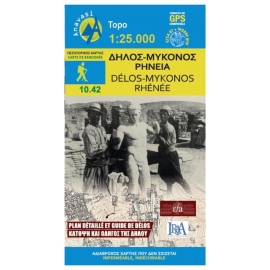
Hiking map of Mykonos, Delos & Rheneia islands in a scale of 1:25.000. Mykonos (Mikonos) with the nearby islands of Delos (Dilos or Délos in French) and Rheneia (Rineia, Rinia or Rhénée in French) on a light, waterproof and tear-resistant, GPS compatible map at 1:25 000. The reverse side shows a large, very detailed plan of the archaeological remains...
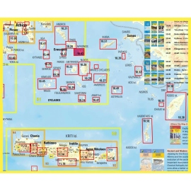
Touring map of Cyclades and Argosaronic in a scale of 1:200 000. The map of Cyclades - Argosaronic covers the areas of Attica with the Argosaronic islands of Salamina, Aegina, Ydra and Poros and all the Cyclades islands, printed on 2 sides with overlap. A very useful map, especially for island-hoppers, with short text for each island presenting the main...
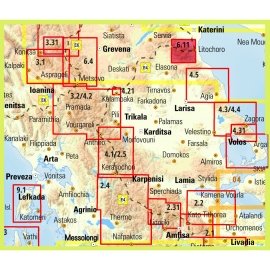
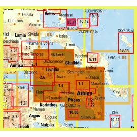
New edition of the regional map Central Greece - Thessaly - Epirus. A very useful road map in the series Topo250, which covers half of mainland Greece, from Konitsa to Katerini in the north and from Messolongi to Thiva in the south.