Your cart
There are no more items in your cart
Maps
8.50 €
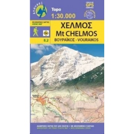
Updated hiking map of Chelmos (or Helmos) in a scale of 1:30 000, the highest peak in Achaia (2355 m).
7.50 €
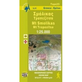
Waterproof, rip-proof hiking map of Smolikas and Trapezitsa.
5.00 €
Waterproof, rip-proof, hiking map of Northern Agrafa and Plastira Lake.
15.90 €
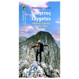
0This is not just a hiking map, this is a hiking guide AND 1: 25 000 map.
8.00 €
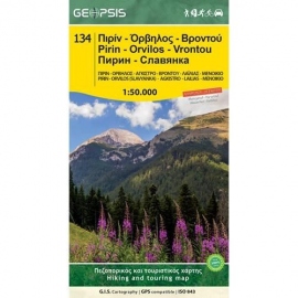
Waterproof, rip-proof, hiking and touring map of Pirin - Orvilos - Vrontou.
9.50 €
Hiking map of South Pindos, Tzoumerka, Peristeri, Koziakas, Avgo in a scale of 1:50.000.
9.50 €
The new Parnassοs map in scale of 1:35 000 highlights the alpine side of the mountain in the Zemeno -Tithorea area, with new signposted paths.
9.50 €
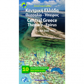
Road & Touring Map of Central Greece at a scale of 1:230,000. This map covers half of mainland Greece, from Konitsa to Katerini in the north and from Messolongi to Thiva in the south. It includes all new motorways (Egnatia, Ionian, Central Greece, Athens-Thessaloniki), shaded relief showing all mountains, lakes and rivers, towns and villages,...


