Your cart
There are no more items in your cart
- Home
- Gift Vouchers
- Men's Apparel
- Men's Shoes
- Apparel & Shoes Accessories
- Women's Apparel
- Women's Shoes
- Kid's Apparel
- Kid's Shoes
- Protection Equipment
- Backpacks - Travel Bags - Military Bags - Hydration
- Camping
- Tents - Camo Net - Umbrellas
- Sleeping Bags - Mattresses & Accessories
- Cooking
- Knives - Pocketknives - Multitools
- Lighting - Torches - Laterns - Photovoltaics
- Tools
- Hiking
- Climbing
- Sea
- Travel
- Survival
- Navigation & Weather
- Accessories
- Army - Police
- Winter Sports
- Gym - TRX
- Cycling - MTB
- All manufacturers


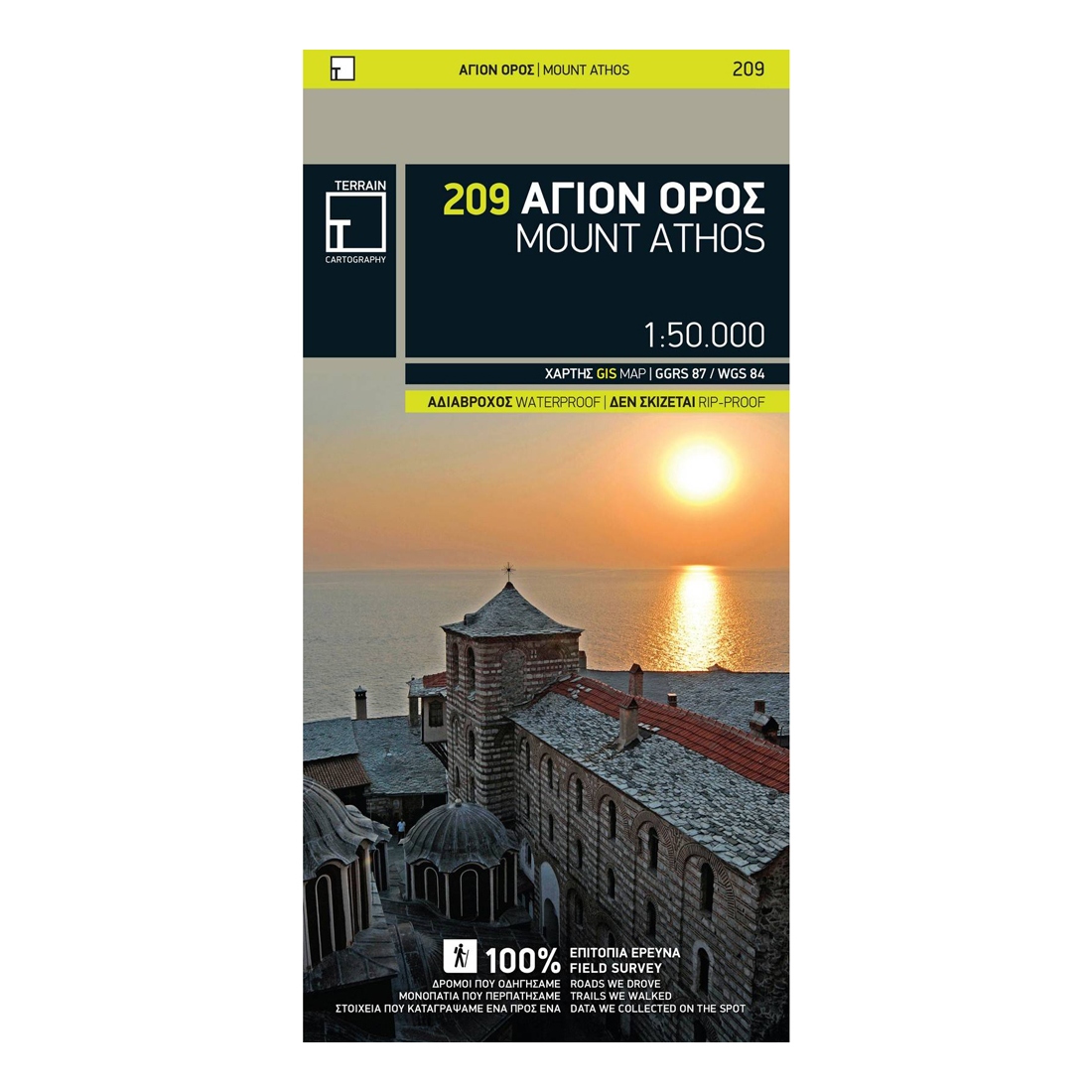
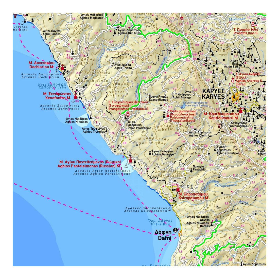
Mount Athos Hiking Map
The first highly accurate map of Mt Athos. Created with GPS technology and extensive field survey, this map of Mt. Athos from TERRAIN Editions offers to the visitor a unique wealth of information. If you plan to hike from one monastery to the other, explore the mainland or climb to the top of Mt. Athos, this precise and reliable map will prove invaluable.
Features:
- Κaryes town plan in 1:3.000 scale and Κaryes area map in 1:10.000 scale
- All monasteries, scetes, cells, seats and huts, marked with distinctive symbols and their names
- All walking trails, with measured distances
- A concise guide to the monasteries, and general information on Mt. Athos
Specifications:
- Publication date: 2015
- Map reference: 209
- Scale: 1:50 000
- ISBN: 978-9609-45-699-9

No reviews
Tap to zoom