Your cart
There are no more items in your cart
Navigation & Weather
Active filters
8.90 €
The perfect backpacker's compass clips to your zipper or backpack and features a rotating bezel with direction setting arrow. Quickly check your bearings at a glance.
9.50 €
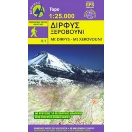
Waterproof, rip-proof hiking and touring map of Mt. Dirfys and Mt. Xerovouni. Scale 1:25000.
7.80 €
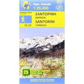
Waterproof, rip-proof hiking and touring map of Santorini. Scale 1:26000.
190.00 €
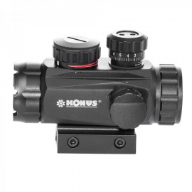
The SIGHT-PRO TR is among the most professional and technologically advanced units of its entire category. Instead of the traditional dot, it features 4 intechangeable reticles that have been chosen among the most versatile ones. Each of these reticles can be illuminated intwo selectable colors (red or green) and 5 different intensities. It also comes...
6.90 €
9.90 €
Safety whistle 4 in 1, with fire flint, thermometer and compass.
8.50 €
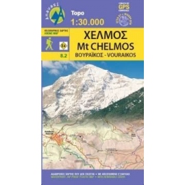
Updated hiking map of Chelmos (or Helmos) in a scale of 1:30 000, the highest peak in Achaia (2355 m).
7.50 €
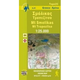
Waterproof, rip-proof hiking map of Smolikas and Trapezitsa.
9.90 €
12.90 €
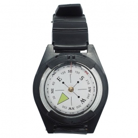
The Mil-Tec Wristband compass can be worn as a wristwatch. Based on an adjustable plastic strap. With this compass you will never lose your orientation and you will always find your way at unknown environments for you.
15.90 €
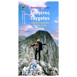
0This is not just a hiking map, this is a hiking guide AND 1: 25 000 map.
9.50 €
Hiking map of South Pindos, Tzoumerka, Peristeri, Koziakas, Avgo in a scale of 1:50.000.
9.50 €
The new Parnassοs map in scale of 1:35 000 highlights the alpine side of the mountain in the Zemeno -Tithorea area, with new signposted paths.
9.50 €
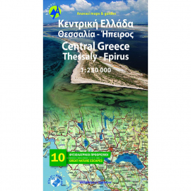
Road & Touring Map of Central Greece at a scale of 1:230,000. This map covers half of mainland Greece, from Konitsa to Katerini in the north and from Messolongi to Thiva in the south. It includes all new motorways (Egnatia, Ionian, Central Greece, Athens-Thessaloniki), shaded relief showing all mountains, lakes and rivers, towns and villages,...
9.50 €
Road & Touring Map of Macedonia at a scale of 1:230,000. This map covers the entire region of Macedonia from the Pindus mountain range to the Nestos river. The map depicts the topography with a coloured shaded relief, the updated road network , towns and villages, monuments and landmarks, national parks, ski resorts, mountain refuges, the course of...


