Your cart
There are no more items in your cart
-





-
-
 Gift Card 25 Euro25.00 €
 Gift Card 50 euro50.00 €
 Gift Card 100 Euro100.00 €
 Gift Card 150 euro150.00 €
-
 English
 ελληνικά



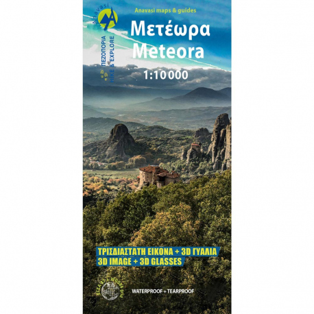
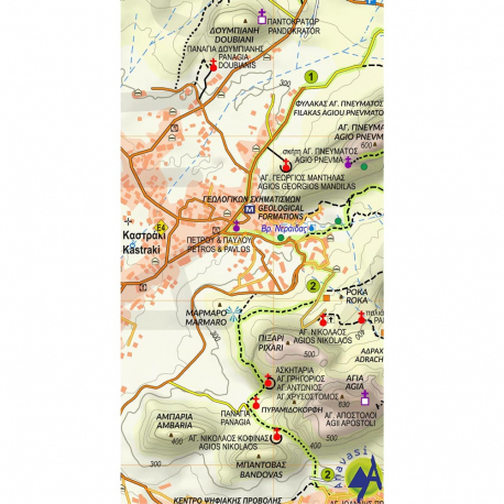
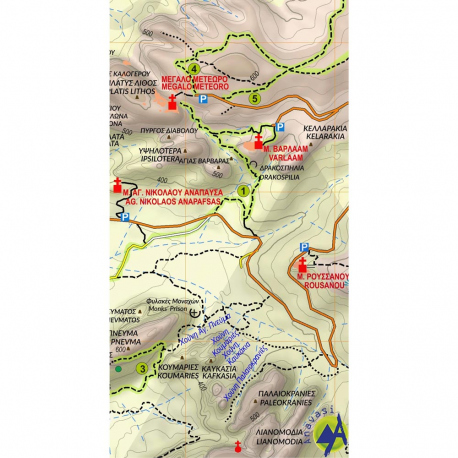
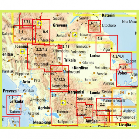
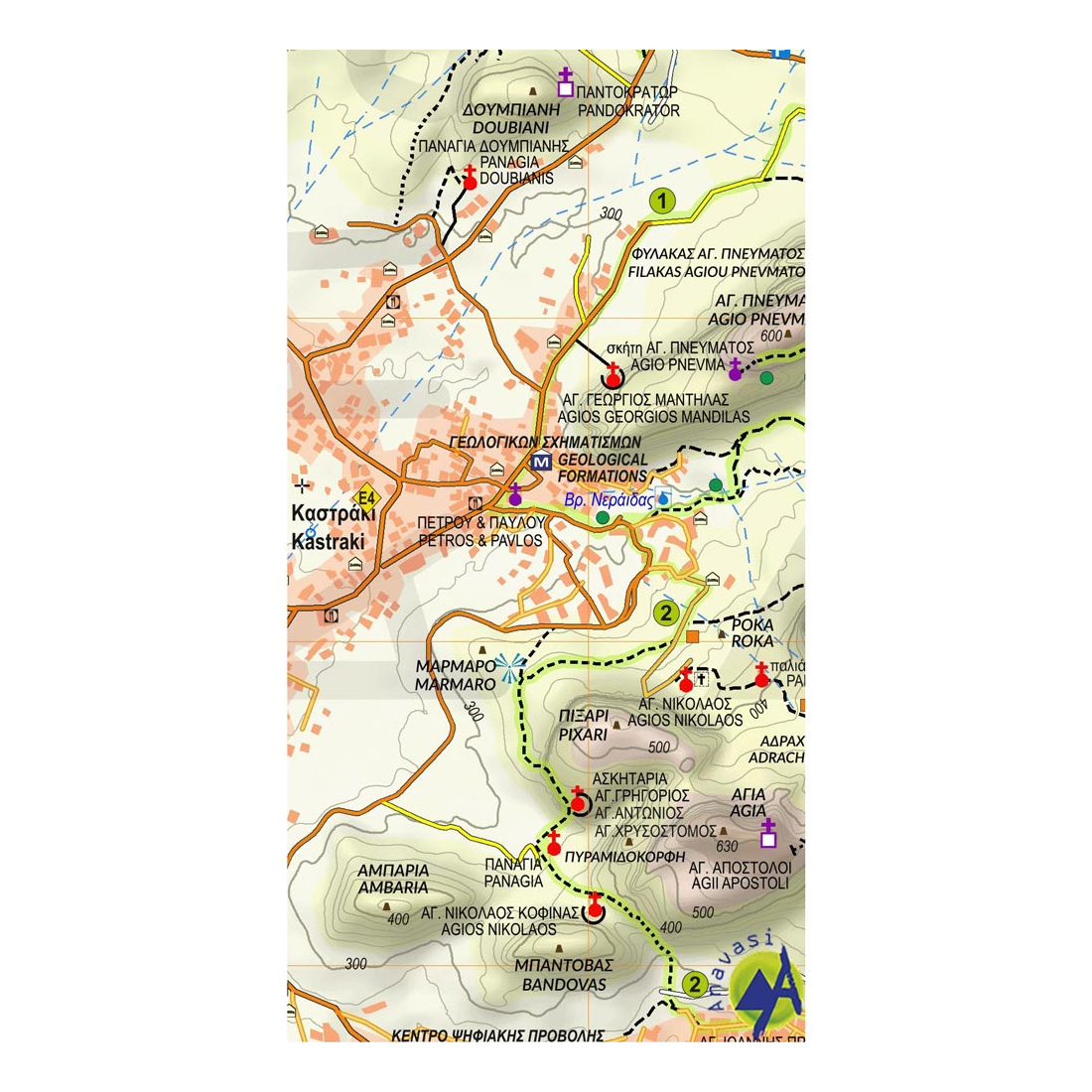
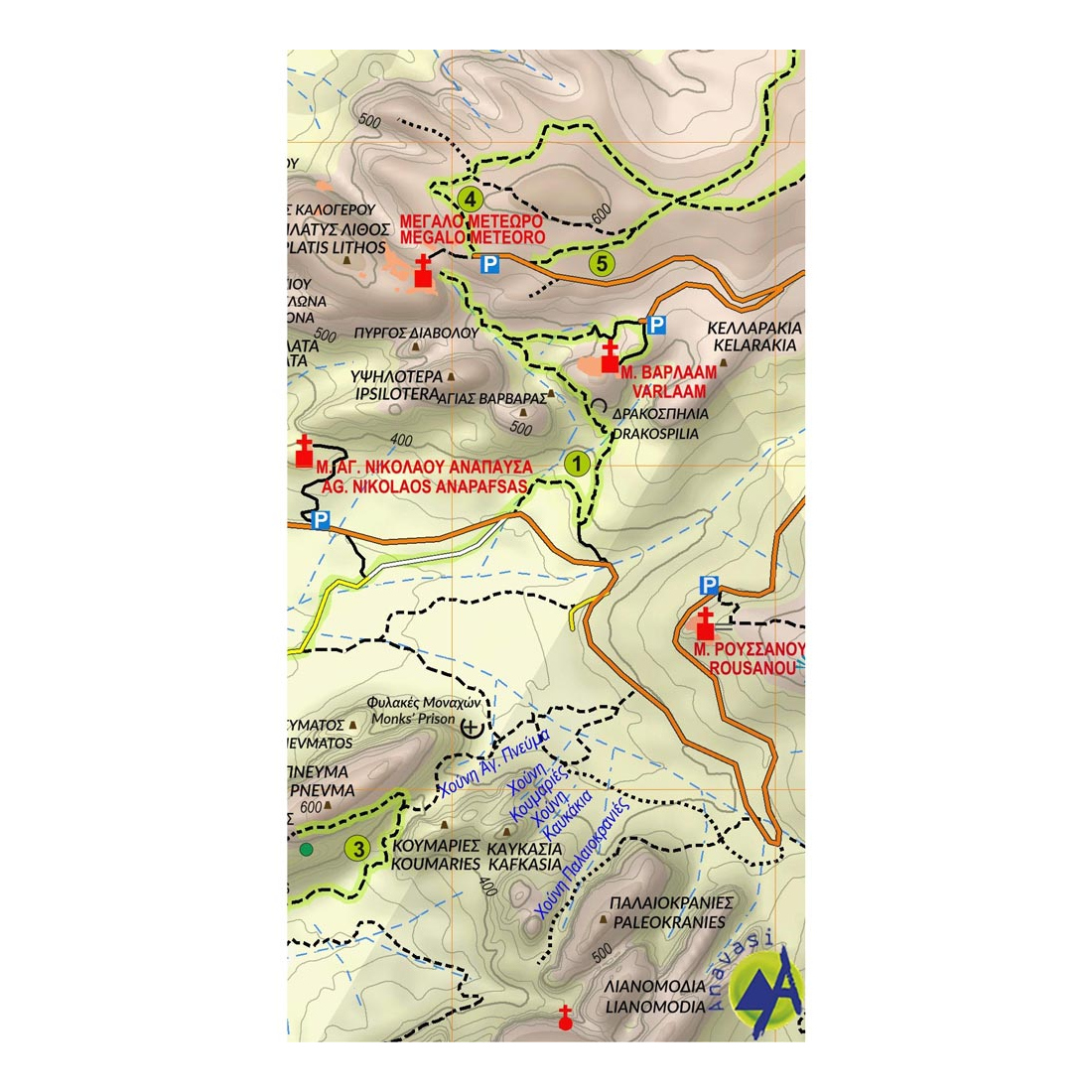
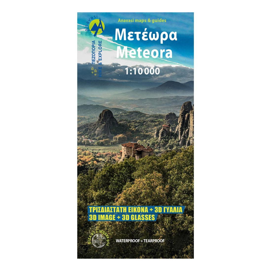
Meteora 3D Hiking Map
The Anavasi Meteora Hiking Map 1:10,000 is a world first in printed cartography, featuring a three-dimensional representation of the landscape and special 3D glasses. A UNESCO World Heritage Site, Meteora is a unique landscape of towering rock formations and home to the second-largest monastic complex in Greece. With its new map, Anavasi invites you to explore Meteora through hiking trails. The map is printed on waterproof Polyart paper.
Technical Specifications:
- Publication Year: 2025
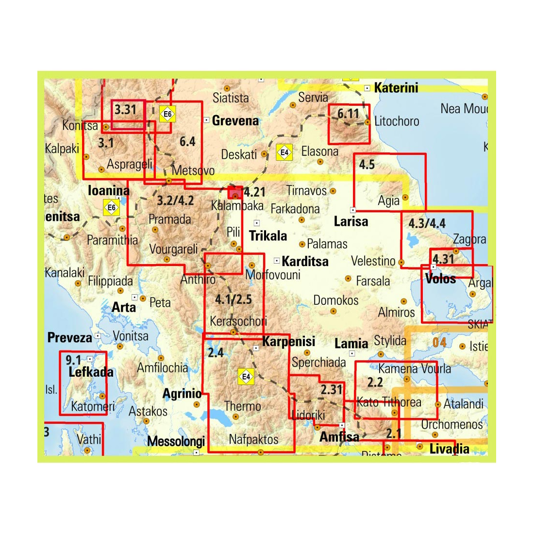
- Map Code: 4.21
- Scale: 1:10,000
- ISBN: 978-960-9412-63-6

Anavasi is a Greek publishing house that specialises in topographic maps for hiking and mountaineering. Anavasi maps cover many Greek mountains and islands and are among the most widely used navigation tools for people walking in Greece.
- Topographic hiking maps of Greek mountains
- Maps of islands and areas with waymarked trails
- Hiking guide books
At Petridi you will find a wide selection of Anavasi maps covering mountain ranges and regions across the country, along with guide books. They are essential for hikers, mountaineers, hiking clubs, trail runners and anyone planning a trip into nature. A paper map in your backpack is always useful, even if you use GPS or a phone, because it needs no battery or signal. Combined with a compass, it is the foundation of good navigation.
Petridi in Thessaloniki has been serving mountain lovers since 1949. Ask us about Anavasi maps for the area you plan to visit, or order from our e-shop with delivery anywhere in Greece.
Tap to zoom