Your cart
There are no more items in your cart


In Stock
11.00 €
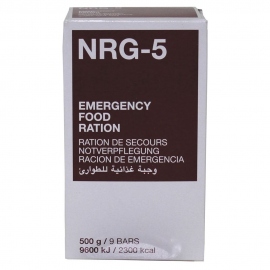
Emergency food, with all the basic ingredients for the human survival.


